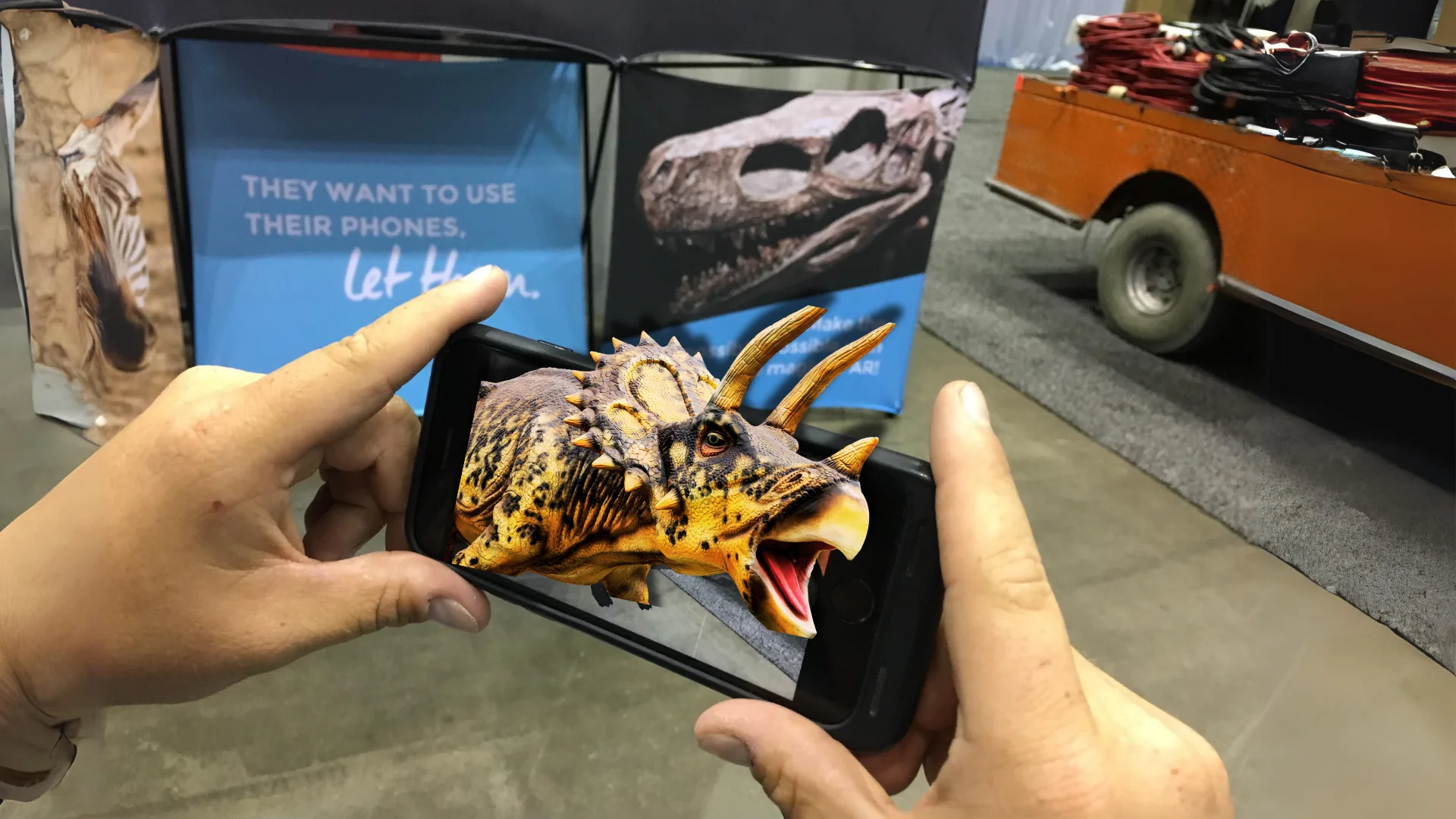
Summer of AR
Four outstanding examples of cultural institutions putting augmented reality to work.


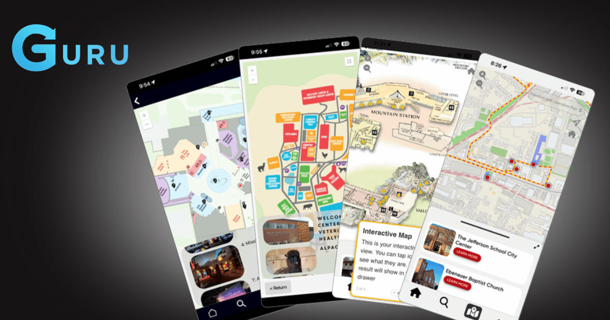


Ask a visitor what they want from your app and “a map” comes up almost every time. Ask them a month later whether they used it, and the answer is much less consistent.
The gap between those two answers is where wayfinding lives. A map is a picture of a building. Wayfinding is knowing where you are, where the thing you want is, and how to get there without doubling back through a gallery you have already seen. Those are very different problems, and only one of them is solved by uploading a floor plan.
This is the part that surprises people. The satellite positioning that works flawlessly in a car degrades badly indoors. Roofs, steel, and thick masonry — exactly what most cultural buildings are made of — scatter the signal. In a historic building it can be worse than useless, placing a visitor in a courtyard they are nowhere near.
So a blue dot inside a building is not GPS. It is a positioning system built from other signals, and getting it accurate enough to be trusted takes deliberate setup rather than a switch you flip.
There is no single correct method, which is the part most vendors gloss over. Bluetooth beacons give you precision but mean hardware to install and batteries to replace. Wifi trilateration uses infrastructure you probably already have, but its accuracy depends entirely on how your access points happen to be distributed. A hybrid of the two covers the gaps in both.
Which one is right depends on your building, and a vendor who only offers one method will tell you their method is right for your building. We work through all three and pick per site, because a 1920s masonry building with sparse wifi and a 2015 glass-and-steel extension are not the same problem and should not get the same answer.
That accuracy threshold matters more than it sounds. A dot that is ten metres out is not “roughly right.” In a building where ten metres is two galleries, it is wrong, and a visitor who catches it being wrong once will not trust it again. There is no partial credit in wayfinding.
Most wayfinding fails slowly rather than immediately. It launches accurate and then drifts, because the building it describes will not hold still.
Exhibitions rotate. A gallery closes for reinstall. A temporary show takes over the space that the map still calls the education room. Every one of those is a small inaccuracy, and they compound until the map is something staff apologise for at the front desk.
The question to ask a wayfinding vendor is not “can you build our map.” It is “who updates it in March, and how long does that take?” If the answer involves a support ticket and a two-week turnaround, the map will be wrong for most of the year. If your own team can move a point of interest in an afternoon, it stays right.
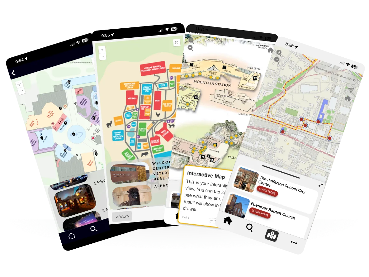
There is a temptation to treat wayfinding as a routing problem — shortest path, turn-by-turn, arrive at destination. That framing comes from cars, and it fits museums badly.
Visitors mostly do not want to be routed. They want to wander and still feel oriented. The job is not to move someone efficiently from A to B; it is to make sure that at any moment they can answer “where am I, what is near me, and how do I get back to the entrance.” Get that right and people explore more, not less, because wandering stops feeling like a risk.
This is why the best museum maps are permissive. They surface what is nearby rather than prescribing an order. They let a visitor abandon a tour halfway through and still know where they are. A rigid route is easy to build and unpleasant to follow.
Gardens, zoos, historic sites, and sculpture parks all want “wayfinding,” and they mean something different by it than a four-storey art museum does.
Outdoor sites have the opposite problem: positioning is easy, but the distances are long, the paths are informal, and what is worth seeing changes with the season. A garden in April and the same garden in September are, functionally, different collections. The map has to carry that.
Large grounds also break assumptions about connectivity. If your site has patches with no usable signal, content that only loads on demand will fail exactly where visitors are most lost.
A step-free route is not the same route with a filter applied. It is a different path, sometimes a much longer one, and occasionally it does not exist — which is itself information a visitor needs before they set off rather than after.
Treating accessibility as a checkbox produces maps that technically offer an accessible option and practically send someone to a lift that has been out of service since Tuesday. Treating it as a routing requirement means the accessible path is maintained with the same care as the default one, and that closures affect both.
Wayfinding is one of those features that is invisible when it works and actively damaging when it does not. A visitor who gets lost with your app in their hand does not conclude that the building is confusing. They conclude that the app is bad.
Behind the scenes of how we turn museum stories into interactive, accessible experiences - plus what we’re learning along the way